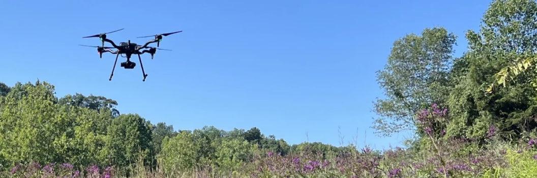
Drone, LiDAR and Remote Sensing Are Reshaping Utility Vegetation Management
One of the strongest technical presentations at the ROW14 Conference came from Dr Ashley Bennett from the Electric Power Research Institute (EPRI), focusing on how drone imagery, LiDAR, satellite data and machine learning are reshaping the way utilities assess vegetation condition, habitat quality and corridor risk.
The presentation focused heavily on the growing operational credibility of remote sensing technologies within utility vegetation management programs and, importantly, how these technologies are now moving beyond research applications and into practical field deployment.
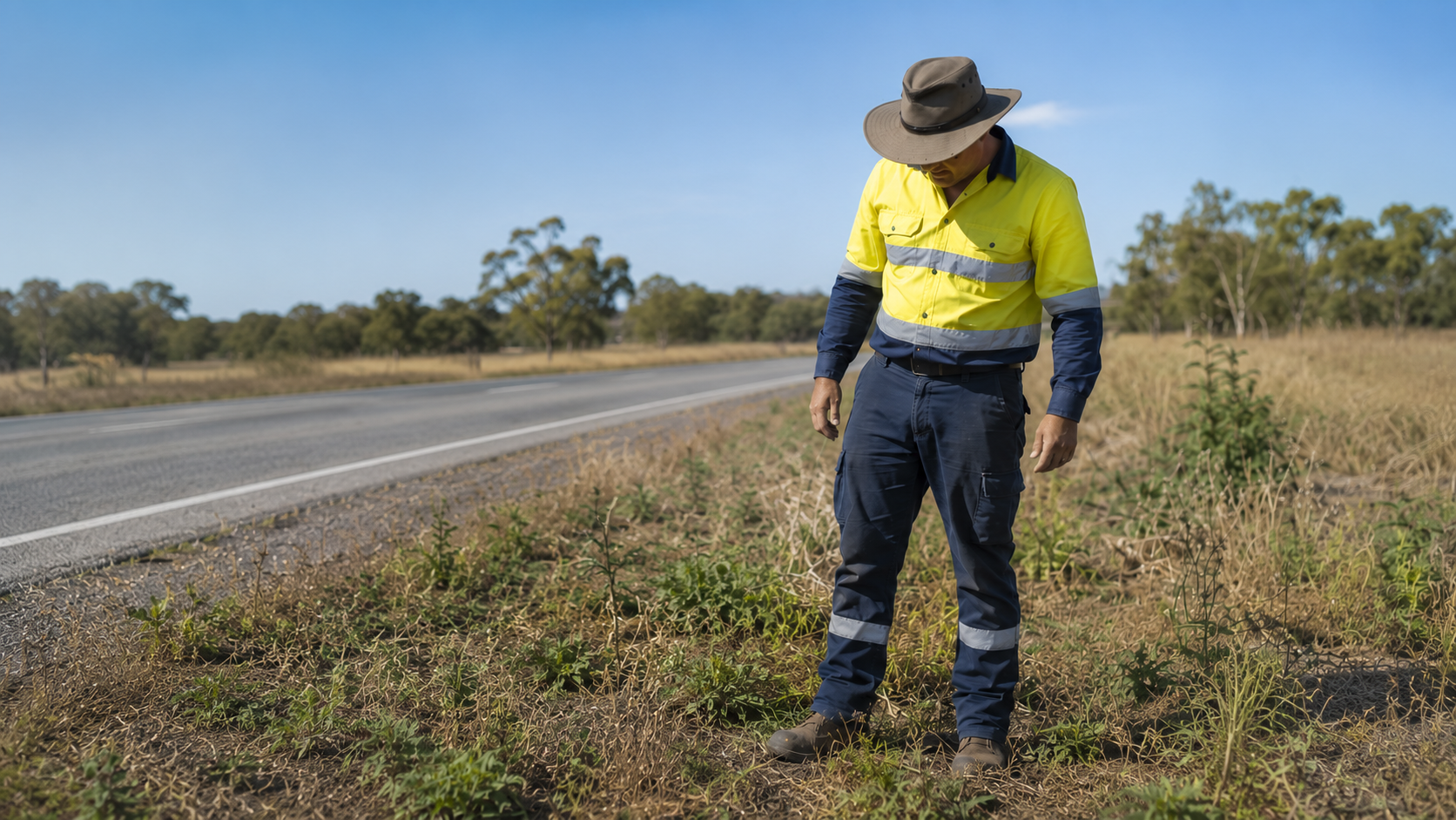
A major component of the research involved comparing drone derived vegetation metrics directly against ground truth field observations.
The project combined drone imagery, satellite imagery, LiDAR, machine learning and field validation surveys to assess vegetation cover, flower cover, woody encroachment, bare soil, drainage and slope, species richness and management activity across utility corridors and native habitat systems.

One of the strongest findings presented during the session was that drone based methodology was the only monitoring approach capable of successfully measuring the full range of parameters assessed within the project.
The close alignment between drone derived metrics and field observations was also particularly significant. In some cases, the variance between field assessed observations and drone calculated vegetation metrics was approximately 2%.
That level of alignment is important because it begins moving remote sensing beyond research validation and into operational credibility for large scale utility vegetation management programs.
The presentation also highlighted how different remote sensing platforms currently provide very different levels of operational capability.
Lower resolution satellite imagery was capable of identifying broad management activities such as mowing, vegetation disturbance and broad bare soil patterns.
However, higher resolution drone imagery combined with LiDAR and machine learning delivered substantially greater operational detail and analytical capability.
The presentation demonstrated how these technologies can increasingly support woody encroachment detection, vegetation growth monitoring, flowering and pollinator habitat assessment, erosion and bare soil analysis, species identification, vegetation condition assessment and targeted intervention planning.
The machine learning component of the presentation was particularly relevant.
Early modelling demonstrated approximately 88% precision and recall in identifying common milkweed species from drone imagery. While the immediate research focus partly related to pollinator habitat assessment, the broader implications for utility vegetation management are substantial.
The same modelling principles can potentially support invasive vegetation detection, woody vegetation classification, regrowth analysis, selective treatment planning, corridor risk identification and condition based vegetation management programs.

Another strong theme throughout the presentation was the increasing transition away from broad cycle based maintenance approaches and toward measurable condition based management supported by repeatable field intelligence.
Historically, many vegetation management programs have relied heavily on elapsed maintenance cycles, broad corridor clearing, periodic field inspection and reactive intervention.
The challenge with those systems is that vegetation risk rarely develops uniformly across a corridor.
Growth rates, environmental conditions, species composition and surrounding vegetation pressure all influence how risk develops across infrastructure networks.
This is where remote sensing technologies are becoming increasingly operationally valuable.
Utilities can now begin moving beyond simply asking:
“What is vegetation?”
Toward:
What vegetation is present?
What level of risk exists?
What structure is developing?
How quickly are conditions changing?
What intervention timing is required?
Which areas actually require treatment?
The broader implication coming out of the presentation was clear.
Utility vegetation management is increasingly evolving toward condition based management, repeatable remote monitoring, measurable field intelligence, predictive analytics, integrated geospatial asset management and targeted operational intervention.
The technology itself is advancing rapidly, but more importantly, utilities are now beginning to operationalise these systems at scale.
That is where the real industry shift is occurring.
,%20focusing%20on%20how%20drone%20imagery,%20LiDAR,%20satellite%20d...)
Additional content
VIEW GWS' ADDITIONAL CONTENT TO LEARN MORE ABOUT THE WEED INDUSTRY
Poor Weed Control? Check More Than the Herbicide
Herbicide resistance occurs when a weed population can survive a herbicide that previously controlled it. Treatment failure simply means the herbicide did not deliver the expected result. The two s...
Read more
Greenway Solutions Group Celebrates Another Gold Coast Business Excellence Award
Greenway Solutions Group is proud to have once again been recognised through the Gold Coast Business Excellence Awards, marking the third consecutive year the company has received this prestigious ...
Read more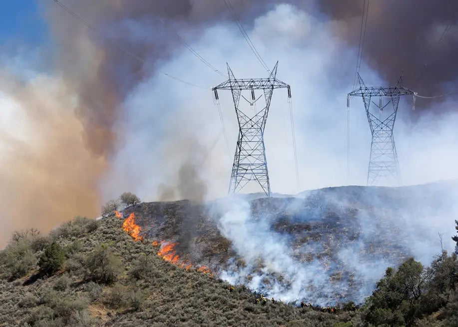
A Self Improving Integrated Vegetation Management Program Supported by Satellite Intelligence
Utility vegetation management is increasingly moving beyond fixed maintenance cycles and into an era of continuous operational intelligence. That shift was strongly reinforced during a ROW14 presen...
Read more